
Find the window
See the strongest two-hour periods instead of staring at a full day of raw weather numbers.
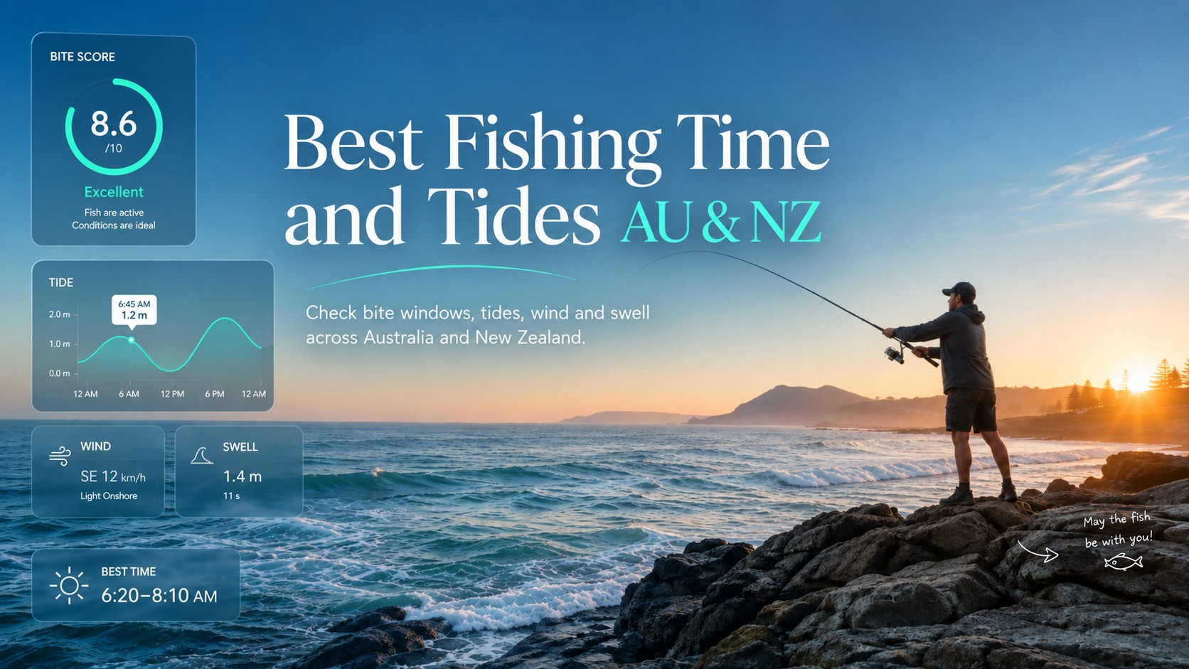
A free Saturday is not automatically a good fishing Saturday. BiteTime helps you read the useful part quickly: when the better windows occur, whether the sea state looks comfortable for your fishing style, and whether another day or saved spot looks more promising.
It is deliberately simple: choose a place, choose how you are fishing, choose a day — then let the numbers do the arguing.
See the strongest two-hour periods instead of staring at a full day of raw weather numbers.
Follow modelled sea-level movement together with waves, swell and the daily light cycle.
Bite Score never overrides the app's separate risk indicator or official marine advice.
Compare saved spots, follow the seven-day outlook, build a streak and occasionally catch a completely fictional Golden Fish.
Search any supported Australian or New Zealand location, then switch between shore, boat and jetty fishing. The forecast stays practical; the luck stays optional.
Pick a coastal location and fishing style. BiteTime turns weather and marine conditions into simple fishing windows you can actually use.
BiteTime will load one seven-day forecast, then let you switch dates and fishing styles locally without repeatedly fetching the same data.
A useful fishing window is building around the best tide and light conditions.
Planning aid only. Before heading out, check official marine forecasts and warnings: Bureau of Meteorology (Australia) or MetService Marine (New Zealand), plus local tide/navigation information.
Even imaginary fish prefer fresh data.
Tap a day to inspect it without another API request.
Your spots, streak and achievements stay on this browser only. No account required.
Save a coastal location and it will appear here for one-tap return.
Save at least two spots to start a battle.
🔒 Stored only in this browser using localStorage. Clearing browser/site data removes spots, streaks and achievements.
Two-hour windows ranked by Bite Score, comfort and risk.
The forecast above is real. Everything in this box is entertainment.
Tap the button. The fish accept no responsibility for the result.
Luck index: —Scientific validity: questionable. Fishing importance: enormous.
“No excuse generated yet. This is an unusually honest moment.”
Modelled sea-level movement, daylight and your strongest fishing windows on one timeline.
The sea-level curve is a modelled tide-activity proxy for planning and scoring. It is not an official tide table, chart datum or navigation source.
Compare the main variables on the same 24-hour clock and spot why conditions improve or deteriorate.
Quickly see when conditions improve or fade.
The current heuristic model weights tide activity 30%, dawn/dusk 20%, wind 15%, waves/swell 15%, weather 10%, pressure trend 5% and cloud cover 5%. It estimates fishing conditions; it does not guarantee a catch.
Prototype forecast-model data currently supplied by Open-Meteo. BiteTime transforms the source data into its own heuristic planning scores; the source does not provide or endorse Bite Score.
Weather apps are excellent at showing weather. Fishing decisions are messier. BiteTime condenses several coastal signals into one readable view while keeping the underlying conditions visible.
A 0–100 conditions score built from tide activity, daylight, wind, sea state, weather and atmospheric signals.
Ranked time windows help you see when the day looks strongest without manually comparing every hour.
Inspect modelled sea-level movement, waves, swell, wind and the shape of the day on one timeline.
Compare the week at a glance and open a stronger day without repeating the whole search.
Save favourite locations locally, reopen them quickly and let two fishing spots settle the argument with numbers.
A deliberately unscientific side game. It can improve your mood. It cannot improve the forecast.
No charts degree required. BiteTime keeps the first decision simple, then lets curious anglers drill into the detail underneath.
Search a coastal location in Australia or New Zealand, or use your current location.
Shore, boat and jetty modes use different comfort and risk thresholds.
Start with Bite, Comfort and Safety instead of twenty disconnected weather fields.
Open the strongest period and inspect wind, swell, waves, tide movement and daylight.
Keep the spot, compare it with another favourite — or blame the fish with a professionally generated excuse.
BiteTime is intentionally focused on AU and NZ locations. Search the place you fish rather than navigating a giant global map.
Check changing conditions before a shore session, a jetty evening or a planned boat day.
Save regular Kiwi spots, compare days and decide whether the early alarm is earning its keep.
The useful forecast remains useful. The jokes live next door, where they cannot interfere with Safety or Bite Score.
“The fish have entered Do Not Disturb mode.”Fish Mood, on a difficult day
“Your sofa may currently be outperforming the ocean.”A perfectly valid plan B
“Excellent conditions. Weak excuses.”For when the forecast was not the problem
“Golden Fish energy detected.”Statistically meaningless. Emotionally significant.
BiteTime is a planning aid, not an official marine forecast or navigation tool. Conditions can change quickly, especially around exposed coasts and bars.
The score combines several forecast signals, including modelled tide activity, dawn and dusk, wind, waves and swell, weather, pressure and cloud conditions. The app then looks for the strongest time windows in the selected day.
No. The current tool uses modelled sea-level height as a tide-activity proxy. It is useful for visualising movement inside BiteTime, but it should not replace official local tide tables or marine navigation information.
Never. Lucky Cast, Lucky Fish and the excuse generator are entertainment only. Bite Score, Comfort and Safety are calculated independently.
Yes. My Spots, streaks and achievements are stored locally in your browser. There is no BiteTime account or sign-up in this version.
Yes. Location search is intentionally restricted to Australia and New Zealand for this version of the tool.
No app can make that decision for you. BiteTime provides a conservative risk indicator, but you should always check official marine warnings, local forecasts, bar conditions and your own vessel and experience before heading out.
Choose your spot, check the strongest window and let BiteTime do the first round of number-crunching. The fish retain final editorial control.
Planning aid only. When safety matters, use official marine forecasts and warnings from BOM in Australia or MetService in New Zealand, together with local tide and navigation information.